


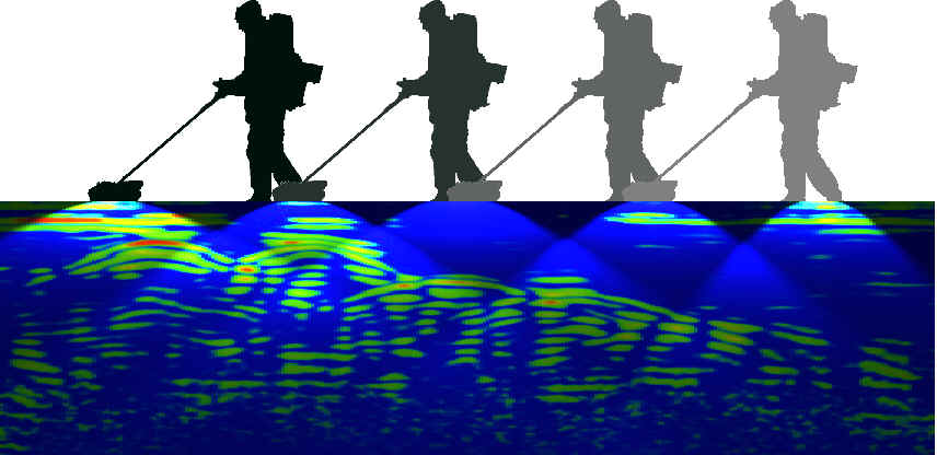
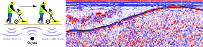
 Georadar or Ground-Penetrating Radar (GPR) is a non-destructive technique based upon transmitting high-frequency electromagnetic waves into the subsoil and receiving radar echoes reflected from any areas of discontinuity.
GPR is a non-invasive and expeditious method valued, particularly for its high spatial resolution, in archaeological and stratigraphic applications, in identifying geological faults and fractures, in estimating the water content of soils and hydro-geological parameters, and in detecting underground drainage installations. In civil engineering, GPR is utilised for identifying foundations and for the detection of underground service utilities, natural or artificial cavities in urban environments, and water infiltration.
 |
 |
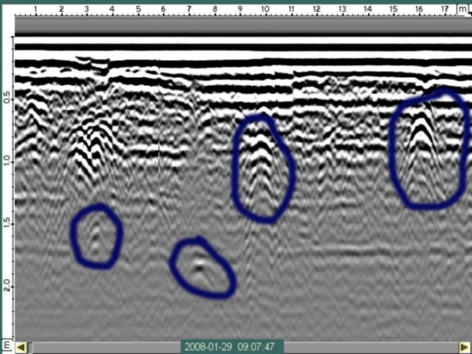
The production of high-resolution GPR data is related to the capacity of the operator, supported by an understanding of the complex phenomena that determine the propagation of electromagnetic waves in the subsoil, to select the type of antenna and to define the mode of acquisition and the settings of the apparatus on the basis of the electrical, dielectric and hydro-geological characteristics of the site in question. Although GPR is one of the few diagnostic techniques capable of providing the data in real time, the extraction of information can be enhanced and improved by the processing phase, which can present, in the production of data of acceptable quality, a role equal, if not superior, to the acquisition phase.