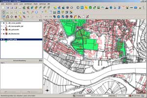


 Geographical Information System (GIS): in summary
- Repertoire of integrated instruments for spatial analysis
-Includes the process of data elaboration (filing, selection, modification, analysis, visualisation)
-Employs spatial localisation as a fundamental relational criterion between data
- Aimed at: decision support, scientific research, management
Geographical Information System: advantages
- On the basis of its analytical power, GIS can process complex operations
- In cases of complex and iterated computational operations, GIS dramatically reduces or completely eliminates systematic errors
- Capable of managing a huge amount of data and returning a multitude of information through the integration of heterogeneous data from various sources
- It can be constantly updated
- Capable of being customised and applicable to various contexts
Geographical Information System: areas of application
-GEOMARKETING
Activities in which the geographical pattern is used for planning purposes and/or the management of commercial or service activities
-ENVIRONMENTAL RESOURCES MANAGEMENT
Activities in which the geographical pattern is employed for the preservation, enhancement and safeguarding of natural resources, e.g., Environmental Impact Assessments (EIA)
-SYSTEMS, NETWORK AND INFRASTRUCTURE MANAGEMENT
Activities in which the geographical pattern is used for the management of works and installations connected to the distribution of local services (roads, water pipes, power lines, etc.)
-URBAN AND TERRITORIAL MANAGEMENT
Activities in which the geographical pattern is employed for settlement and territorial resource management
-URBAN AND TERRITORIAL RESOURCE ANALYSIS AND EVALUATION
Activities in which the geographical pattern is employed for construction of the integrated information system relating to resources oriented towards the construction of transformation choices, including:
