


 Aerial photography offers the opportunity to document a site or an area from angles and perspectives, even dynamics, different from those produced by the usual archaeological techniques.
Photo or video recordings may be made, depending on requirements, by means of a variety of instrumentation, enabling the acquisition of high resolution images ranging from a few metres to more than one hundred metres in height, with high quality results that are not prohibitively expensive.
The images can be used for geo-referenced descriptive overviews, even at 360°, detailed photogrammetric aerial surveys, 3D documentation, and archaeological, monumental or civil visual inspections.
This is made possible by means of radio-controlled drones, mini-dirigibles, and kites.
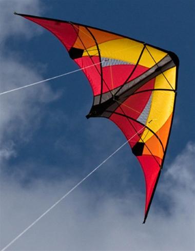
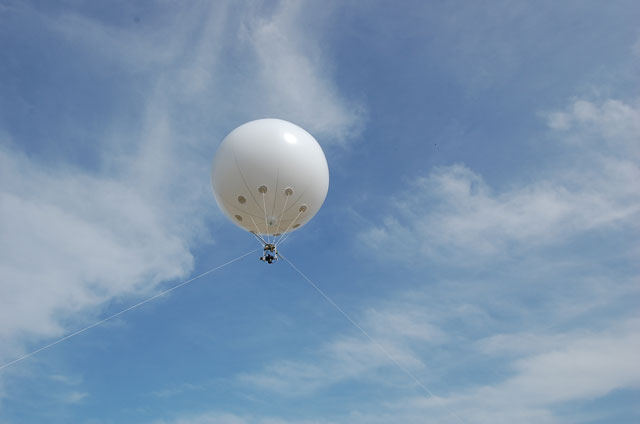
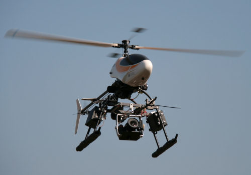
Aerial photography offers the opportunity to document a site or an area from angles and perspectives, even dynamics, different from those produced by the usual archaeological techniques.
Photo or video recordings may be made, depending on requirements, by means of a variety of instrumentation, enabling the acquisition of high resolution images ranging from a few metres to more than one hundred metres in height, with high quality results that are not prohibitively expensive.
The images can be used for geo-referenced descriptive overviews, even at 360°, detailed photogrammetric aerial surveys, 3D documentation, and archaeological, monumental or civil visual inspections.
This is made possible by means of radio-controlled drones, mini-dirigibles, and kites.
 |
 |